Citizen Scientists to Lead Restoration Monitoring in Kenya
Prepared by Kelvin Okumu and Luke Ouko, CIFOR-ICRAF
No one knows the impacts of land degradation better than the people who live and rely on degraded land for their livelihoods. Similarly, no one sees the benefits of restoration better than those who implement and live alongside interventions. This is why the Visibilize4Climate Action Project, funded by the Wellcome project and led by the African Population and Health Research Centre (APHRC), is engaging citizen scientists in landscape restoration to better meet local needs and build a cohort of trained local advocates who can support evidence-based decision-making for prioritising and scaling effective restoration practices in dryland areas.
The Visibilize4Climate Action project aims to make visible, through research, public and policy engagement, the impact of climate change on the nutritional status and mental health of vulnerable populations in the East African drylands (arid, semi-arid, and dry sub-humid zones), to catalyze context-specific climate policy and practice change at scale. Climate change directly affects health and well-being by driving land degradation, exacerbating poverty and food and nutrition insecurity. Currently, land degradation negatively impacts 3.2 billion people, further reducing climate resilience, and increasing vulnerability to climate change.
Defined as the persistent decline in productivity, ecological function, and ecosystem services, land degradation is driven by multiple factors, including deforestation, overgrazing, poor agricultural practices, unsustainable urbanization, and climate-induced pressures. Restoration seeks to reverse these trends, but the long-term impacts of restoration interventions is not well understood due to barriers in collecting and presenting data that can inform practice. This is where citizen scientists come in and have a major impact.
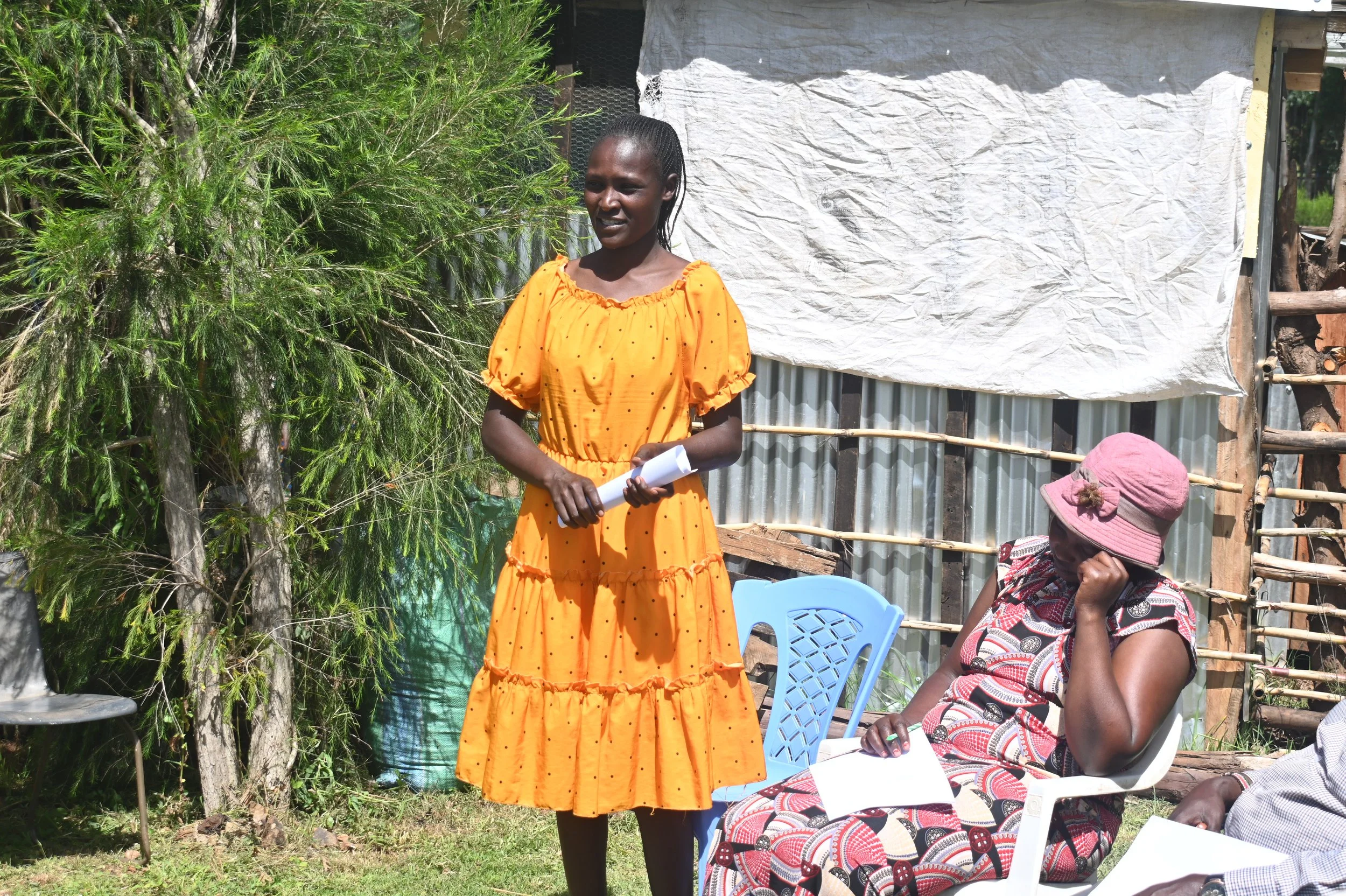
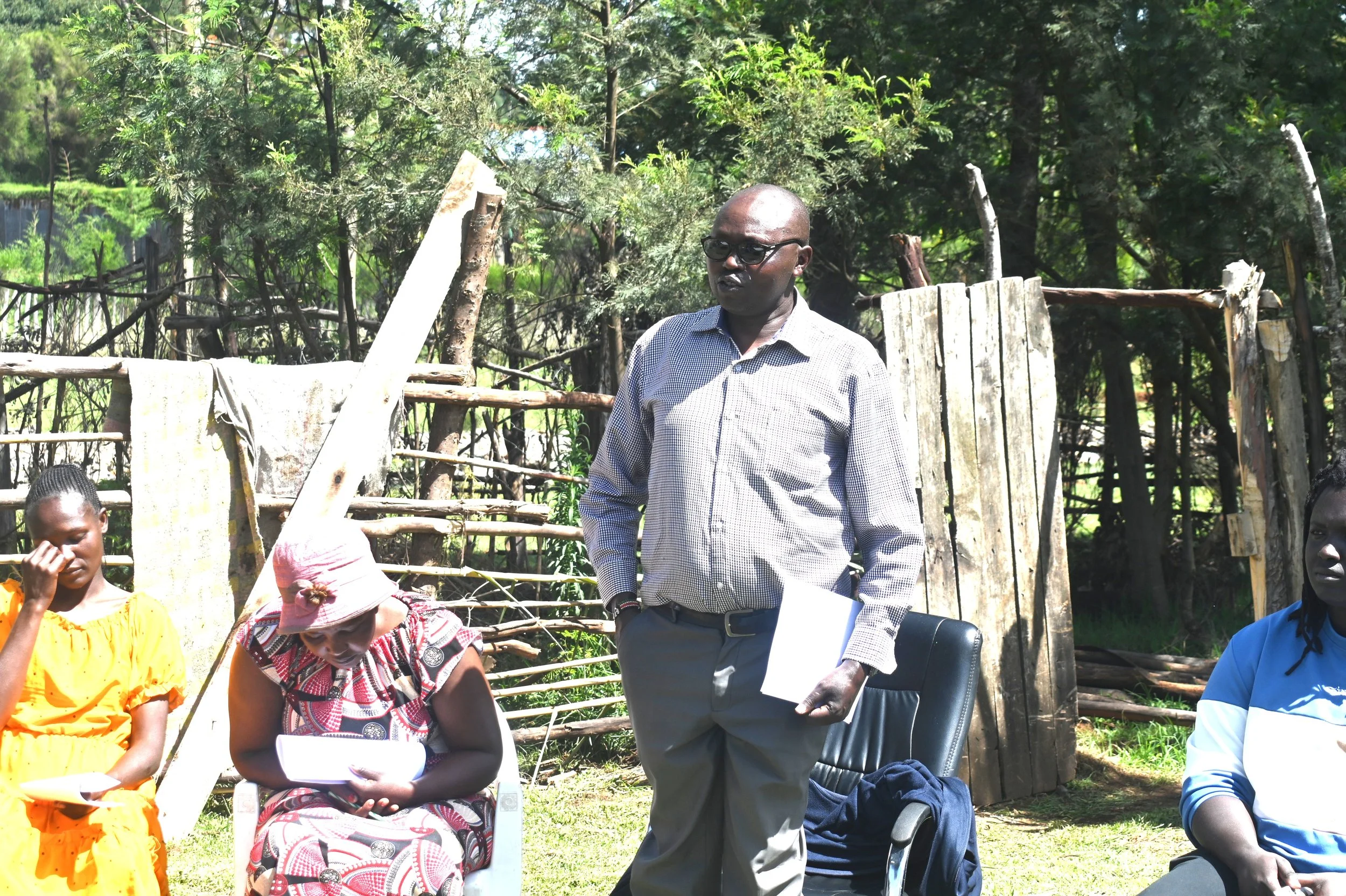
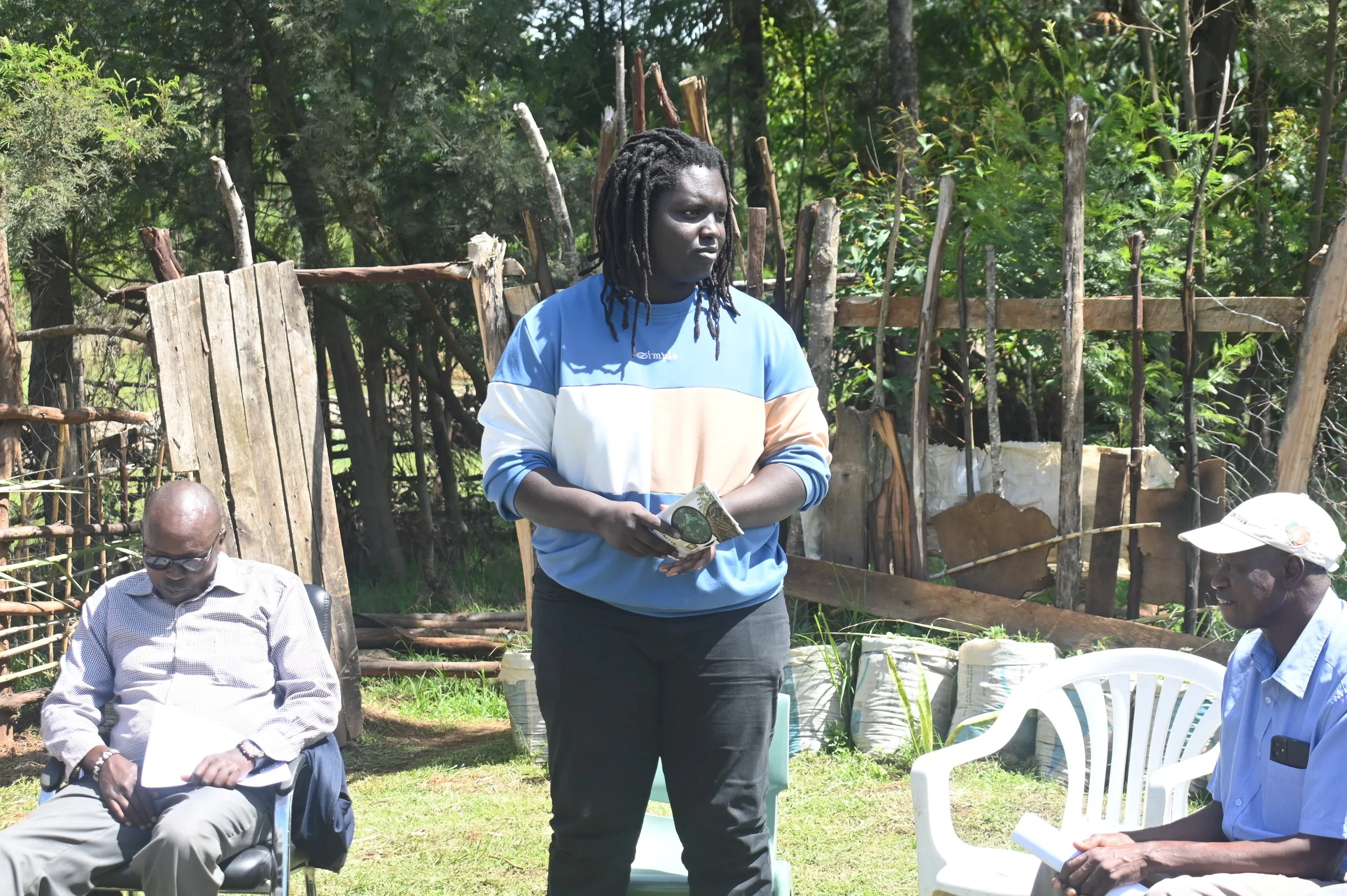
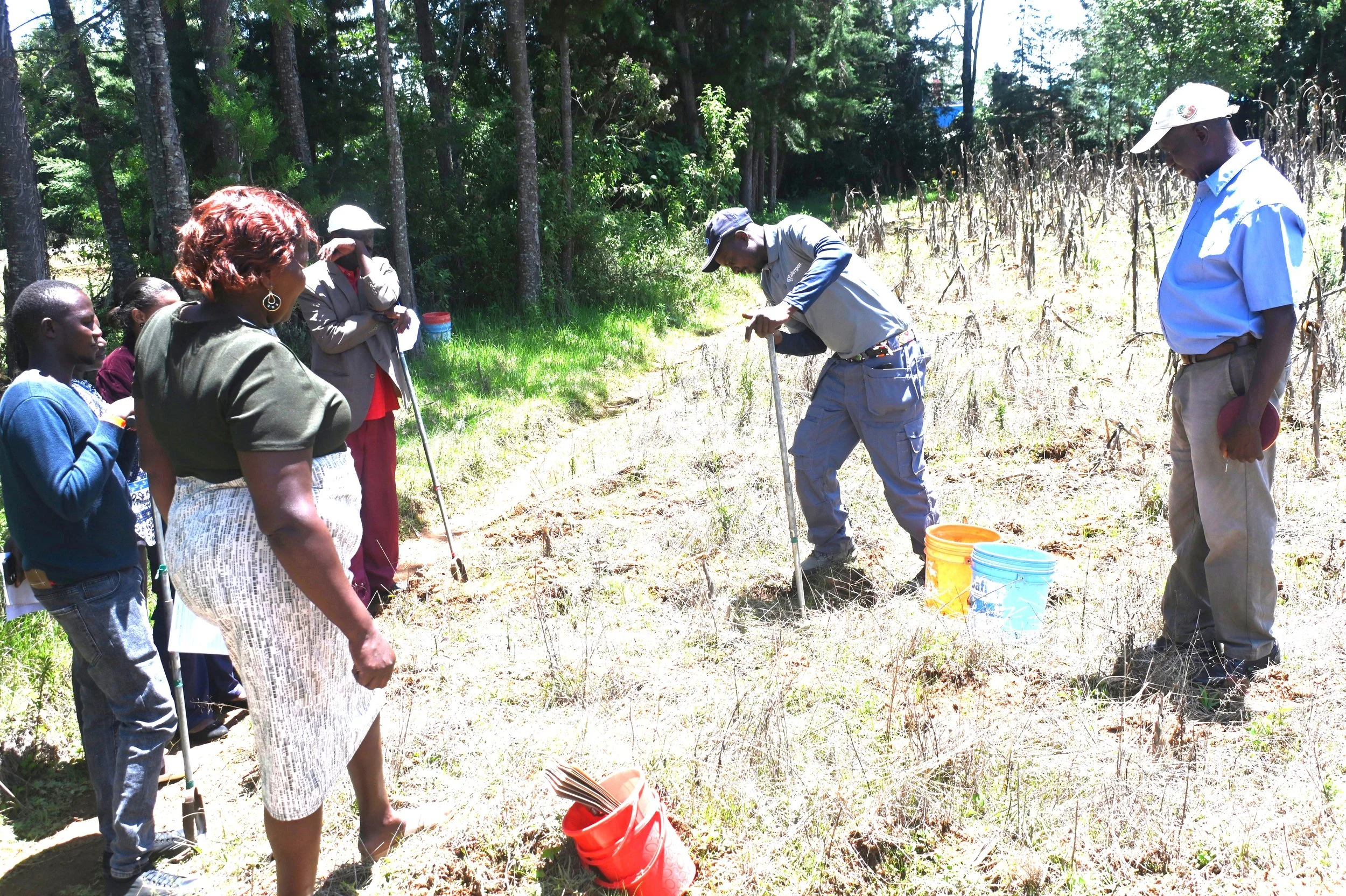
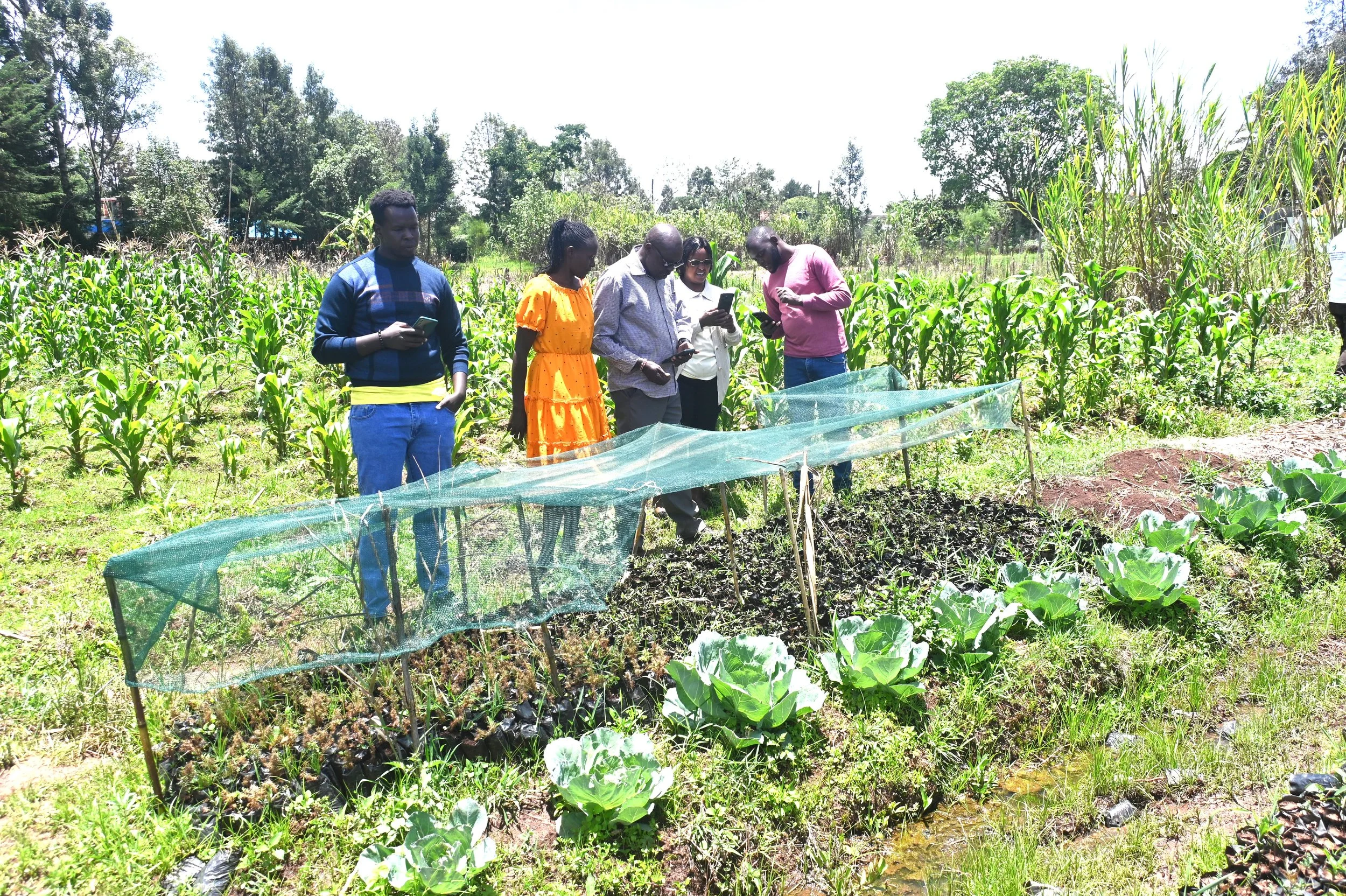
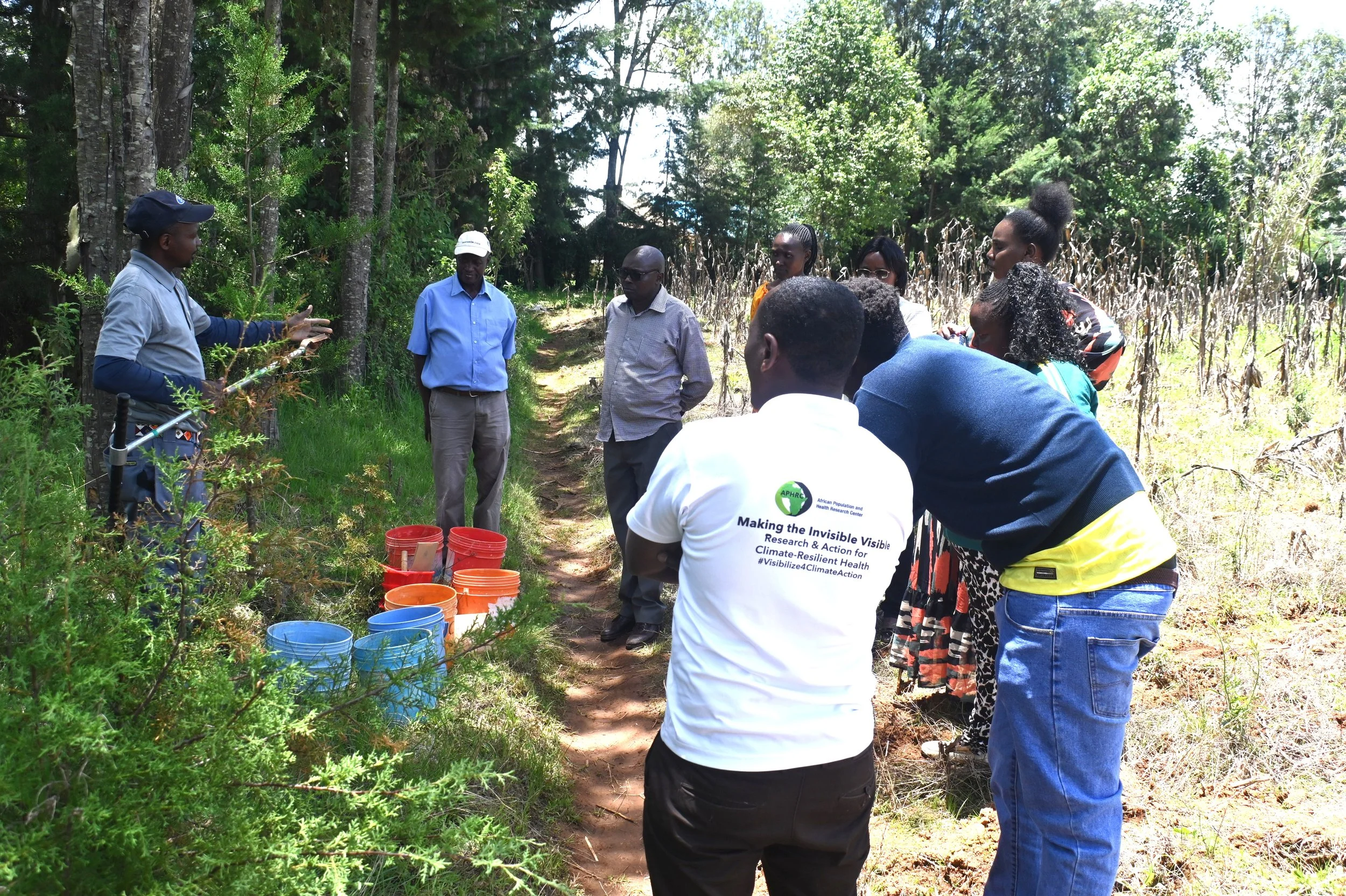
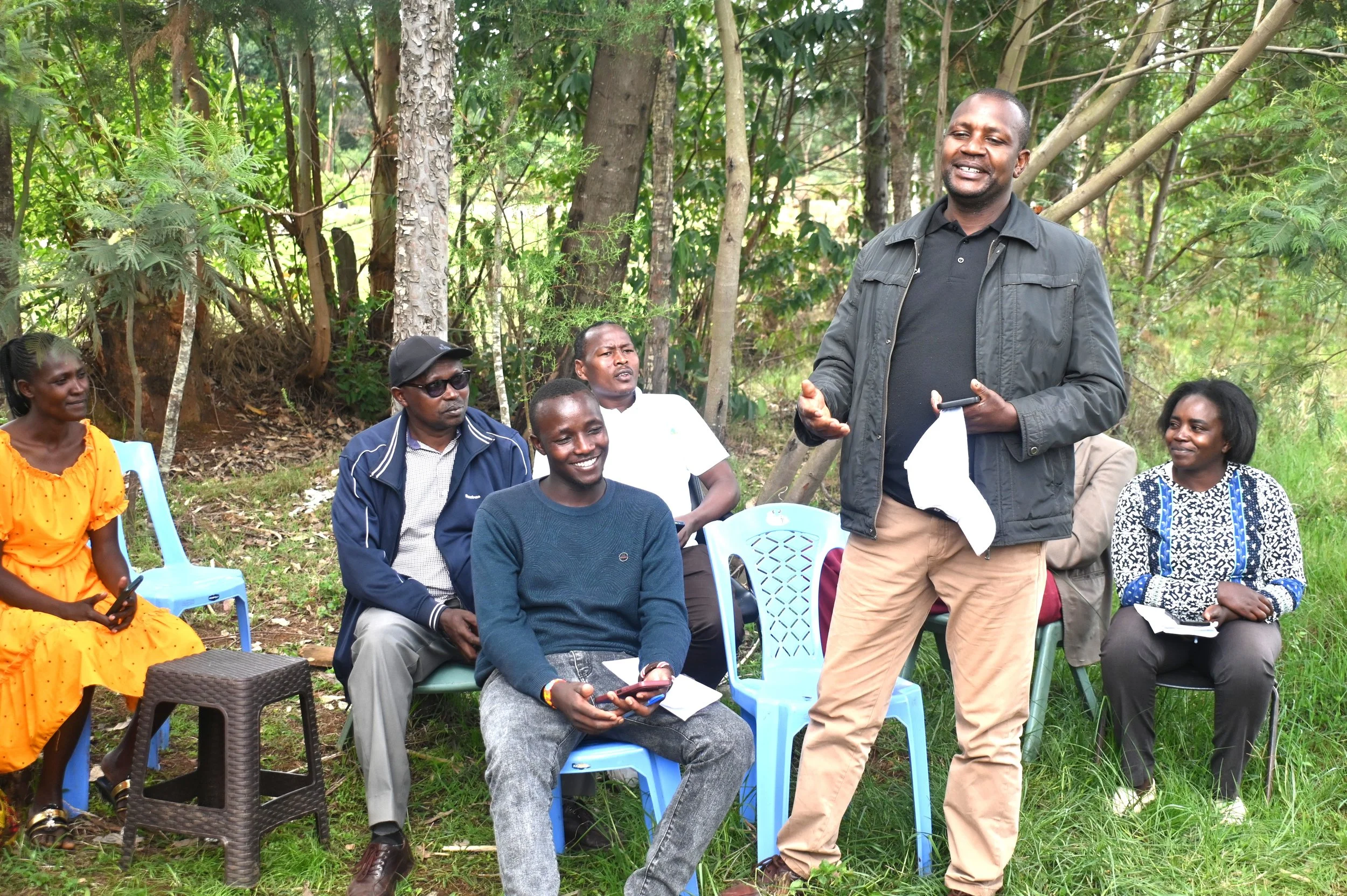
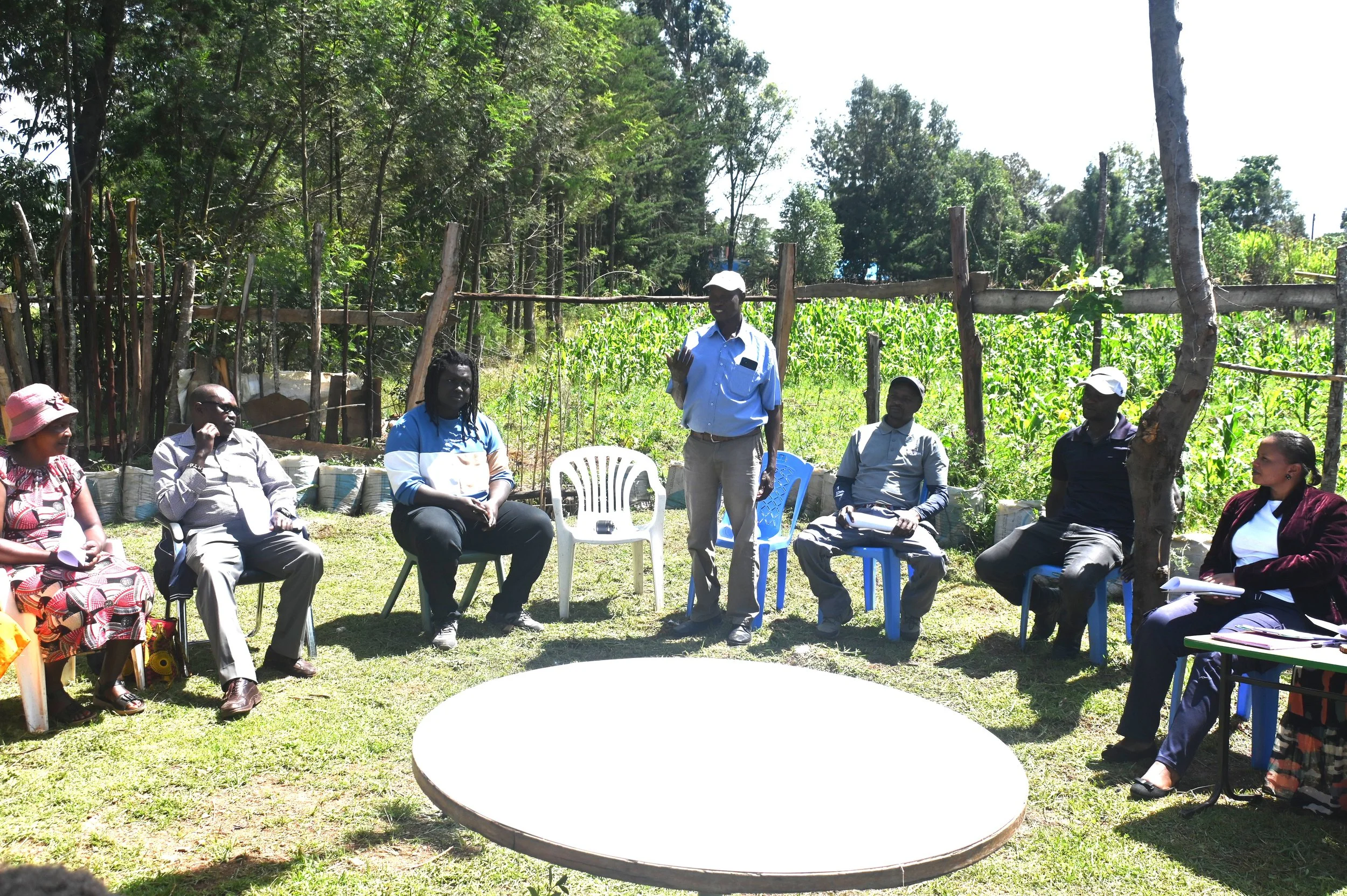
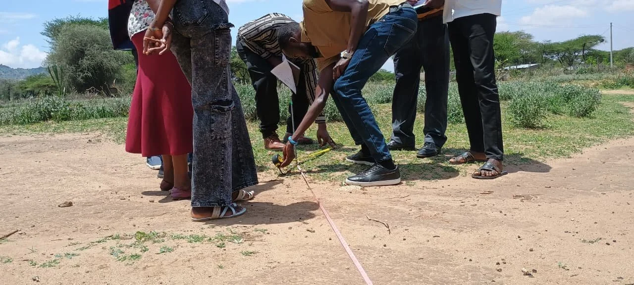
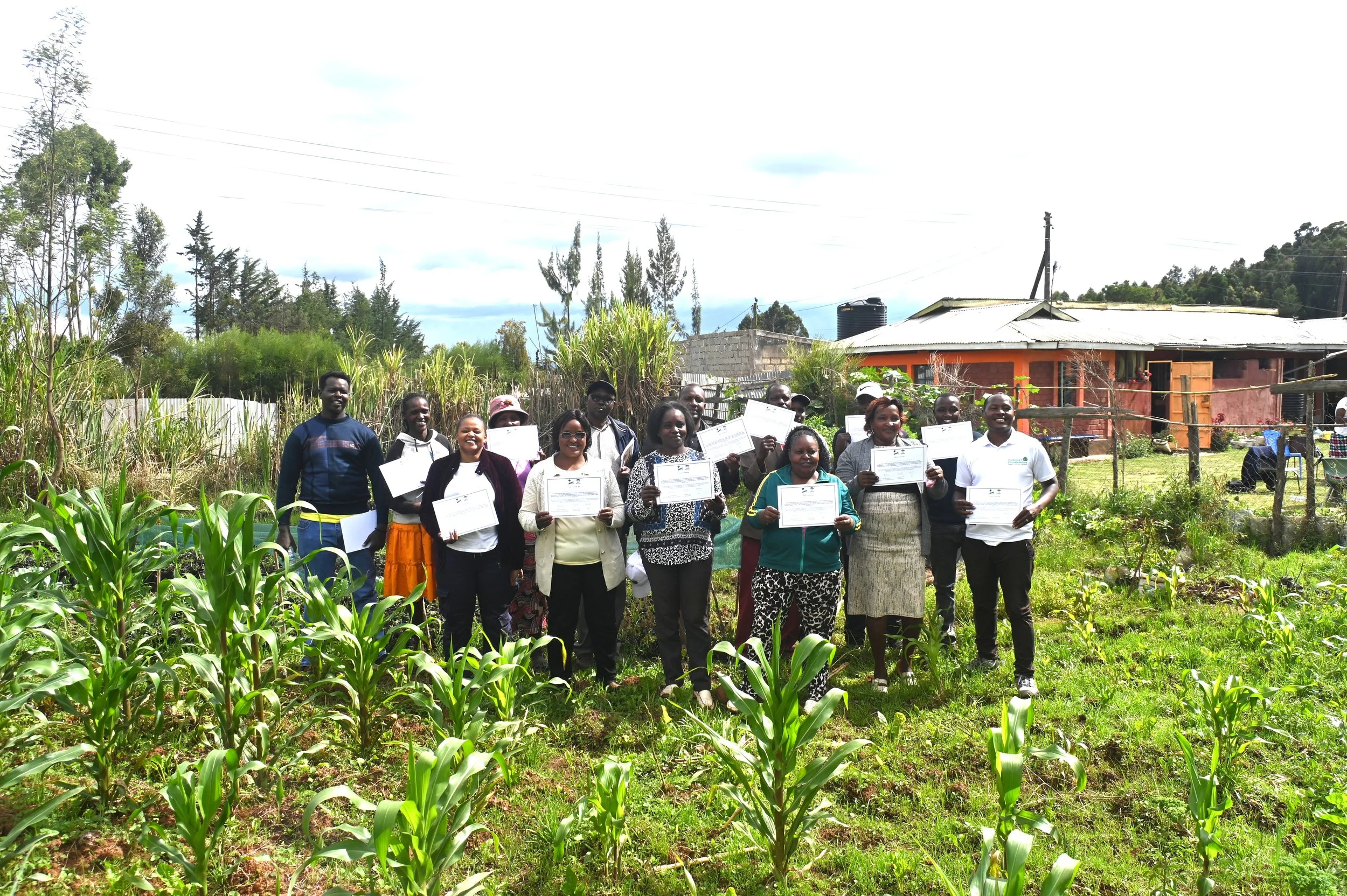
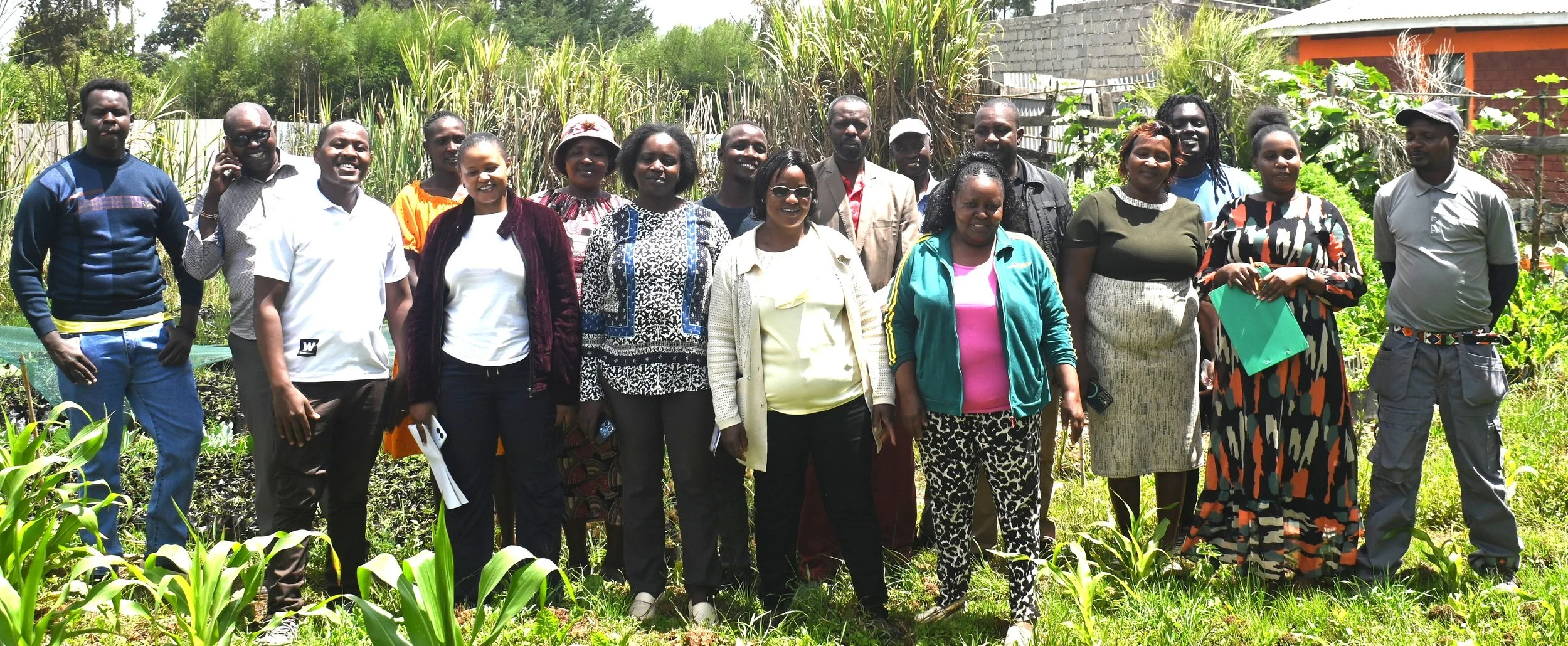
As part of the Visibilize4Climate Action project, CIFOR-ICRAF conducted several in-field restoration monitoring training workshops in Samburu, Laikipia and Turkana Counties in Kenya in late-March and early-April 2026. Each workshop included approximately 20 participants from local communities, including neighboring conservancies, land management groups, field officers, restoration practitioners, local farmers, and county representatives with gender parity among participants. The training highlighted two field-based methods for collecting systematic baseline data, coupled with citizen science data collection, to document and track ongoing restoration efforts. The workshops were designed to build a cohort of trained advocates who could carry these tools back into their communities and extend coverage beyond those directly trained.
A Training of Trainers
The workshops were facilitated by CIFOR-ICRAF staff John Thiong’o, Musembi Kimeu, Luke Ouko, and Kelvin Okumu, who provided practical and technical guidance on the Land Degradation Surveillance Framework (LDSF) and the Regreening App.
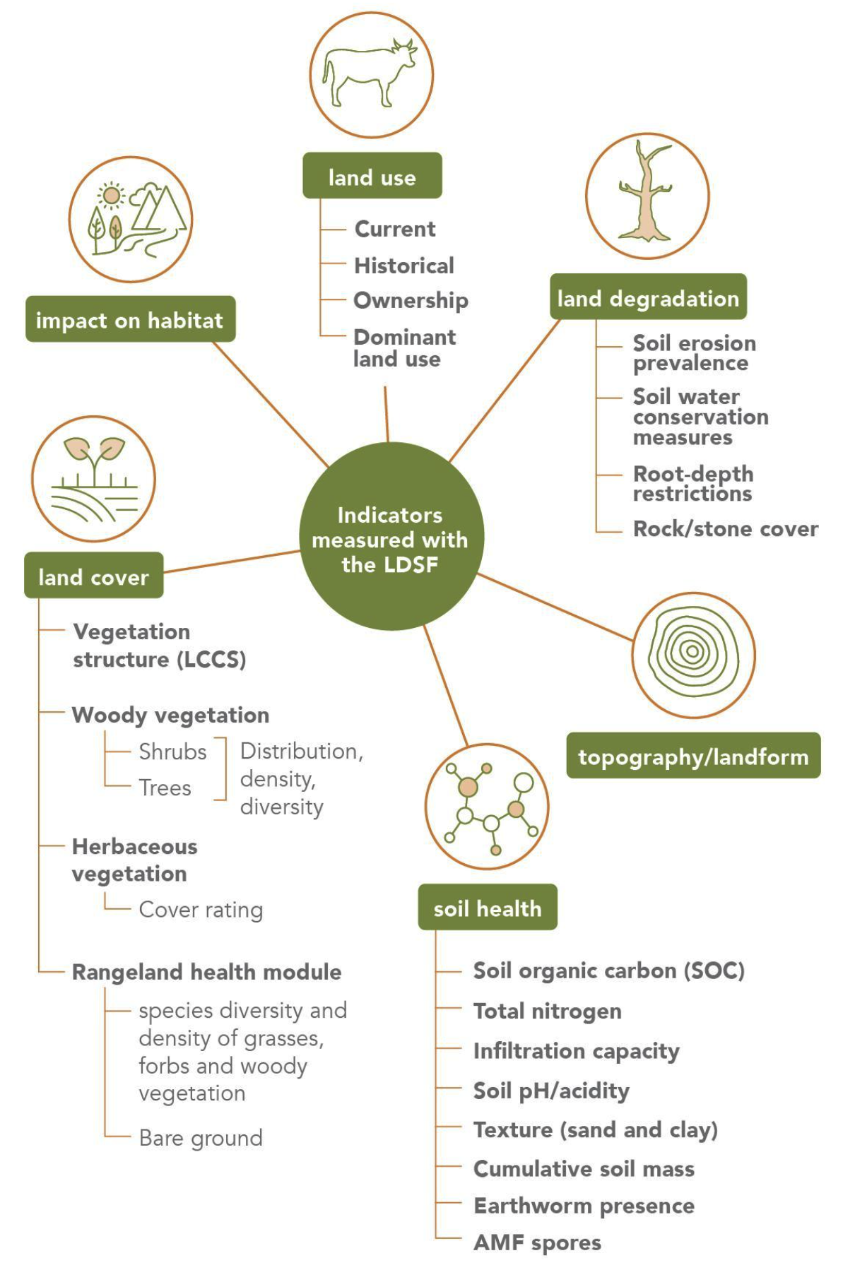
The LDSF is a comprehensive method that provides a science-based field protocol for measuring soil health, land degradation, and vegetation to understand the impact of land management on ecosystem health. It has been applied globally over the past twenty years, and is a cost-effective,
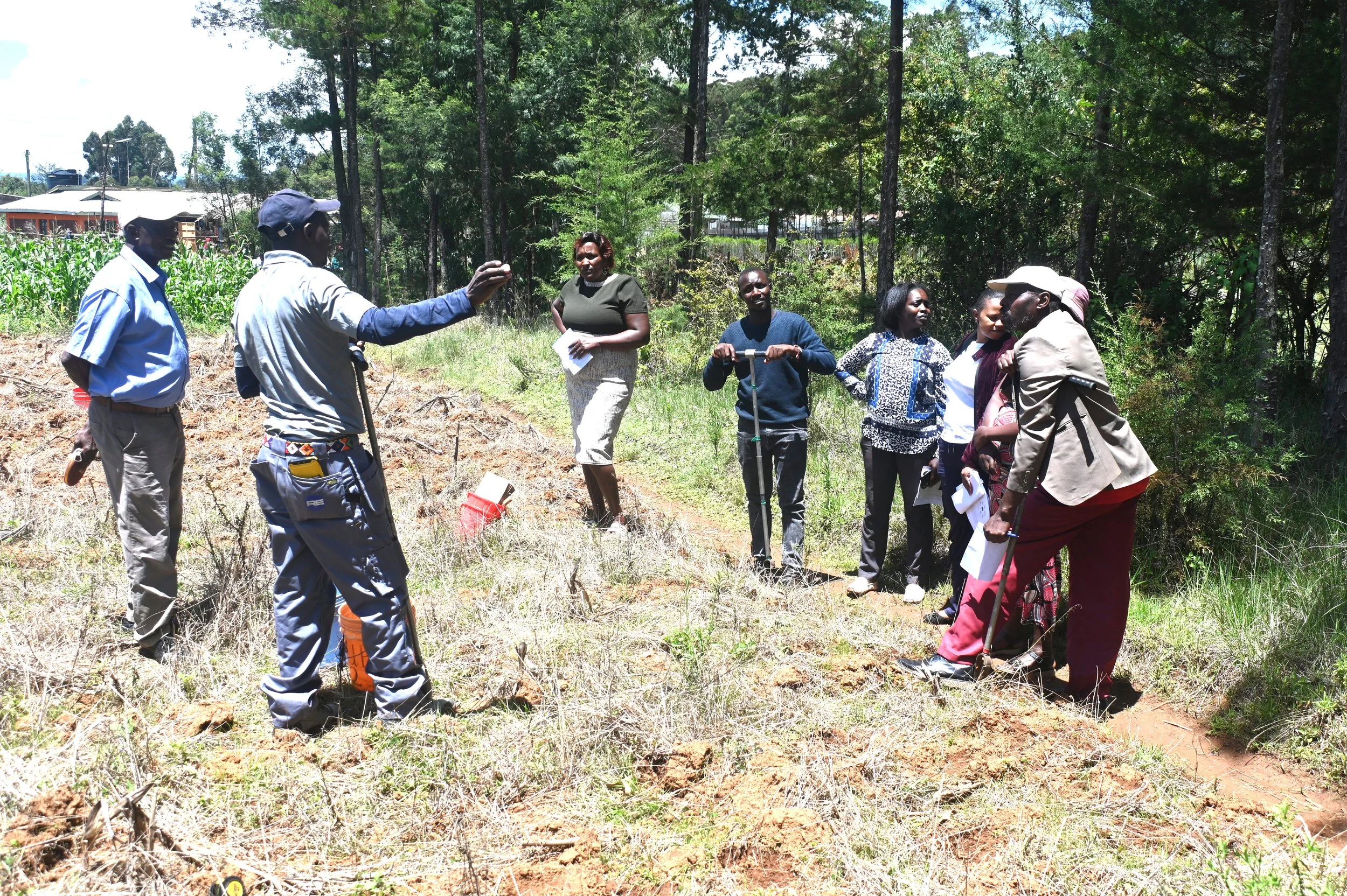
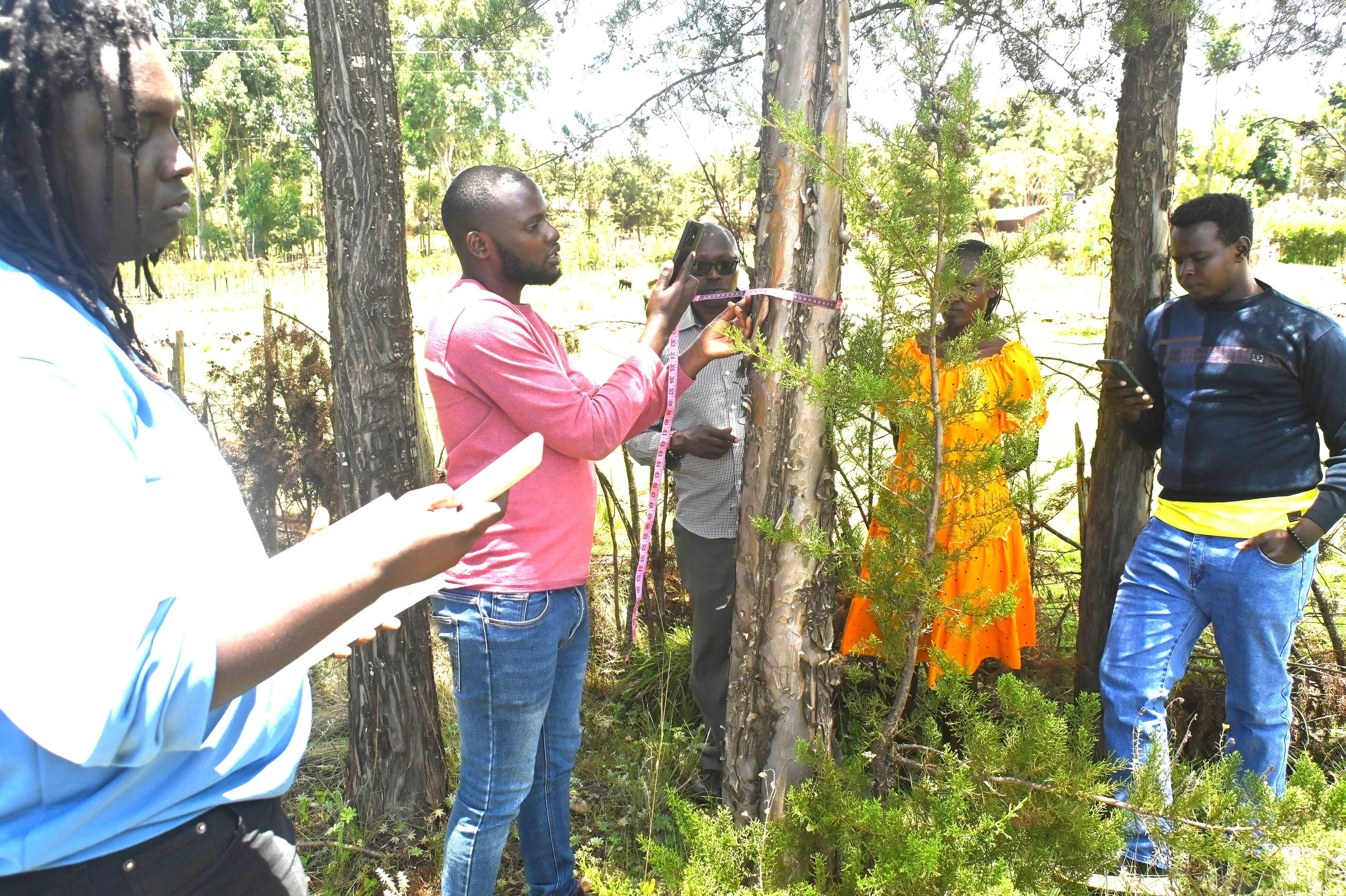
The classroom session of the training introduced participants to the LDSF’s core indicators (pictured below), its plot structure (1000 m2), and the connection between field data and landscape-level monitoring. Participants then hit the road to try the sampling design in the field, allowing all participants to engage directly with each method and ask questions in a small-group context.
Participants learned new skills and refined existing ones, including:
GPS navigation
Electronic data entry
LDSF Sampling Design: The LDSF uses a hierarchical sampling approach (clusters, plots, and subplots) to ensure consistent and representative data collection across large landscapes.
Biophysical Data Collection, including:
Land degradation indicators (erosion prevalences, root depth restrictions)
Herbaceous and woody cover estimates
Slope using a clinometer
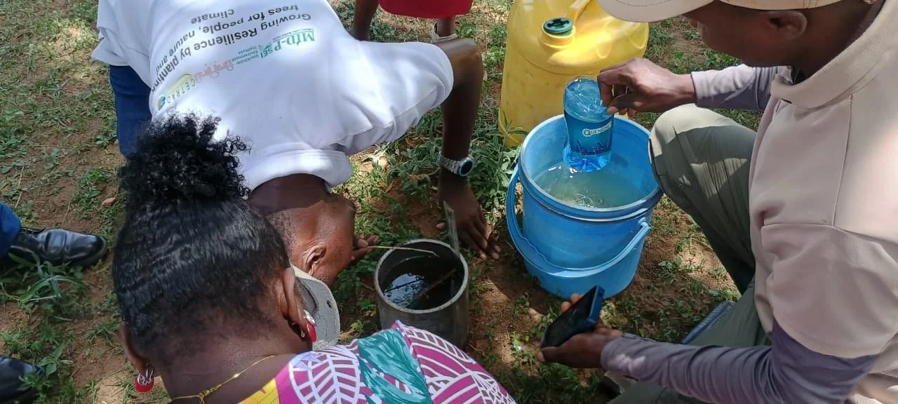
Infiltration capacity with a single ring infiltrometer
Land use type
Tree and shrub identification and measurements
Grass, forb and woody vegetation in the rangeland module
Soil sampling techniques
Composite soil sampling using an auger
Labelling, and storing soil samples for laboratory analysis
Data quality and standardisation
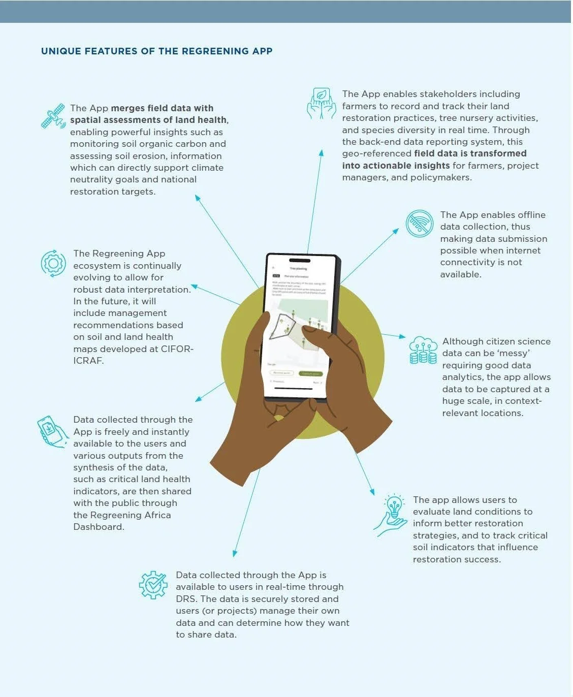
The second part of the training prepared participants on the use of the Regreening App, an assisted citizen science tool used for scaling restoration and land-health monitoring by actively engaging and training communities to participate in data collection. The app is designed for farmers, field agents, and restoration champions to share insights from the ground and engage in robust landscape-level monitoring. In turn, users are connected with actionable insights to support their decisionmaking, from farm activities, to project-level initiatives, to policy decisions.
Participants were trained in using the App’s five modules, namely, tree planting, farmer-managed natural regeneration, nurseries, engagement, and rangeland health. But beyond training in the practical and user-friendly app use in the field, they also engaged in several discussions on indigenous ecological knowledge, and fostered connections between peers to build a network of supporting stakeholders, such as local tree nurseries and government supporting services. This is essential for ensuring that users of the app are not working in silos, but come together to develop locally-led restoration networks working toward common goals and aligning resources. This is integral to sustaining the use of the App, and sustaining momentum toward landscape restoration.
The Domino Affect
With the new cohort of sixty community practitioners across Samburu, Laikipia, and Turkana Counties trained and keen to share their knowledge with their wider communities, co-benefits for land restoration and community well-being will only scale higher and higher.
By harnessing the power of citizen scientists, the project hopes to foster ownership and sustain restoration initiatives, contributing to healthier communities. Additionally, it is the project’s hope that new tools and knowledge will contribute to a greater sense of agency among communities as they take actionable steps to reclaim the integrity of the land they know, rely on, and care for.