#Youth4Soil Join Partners in Mapping Priority Restoration Areas
By Clemence Mnyika, Enoch Kaninge , Brian Mjomba, Eugene Mbogholi
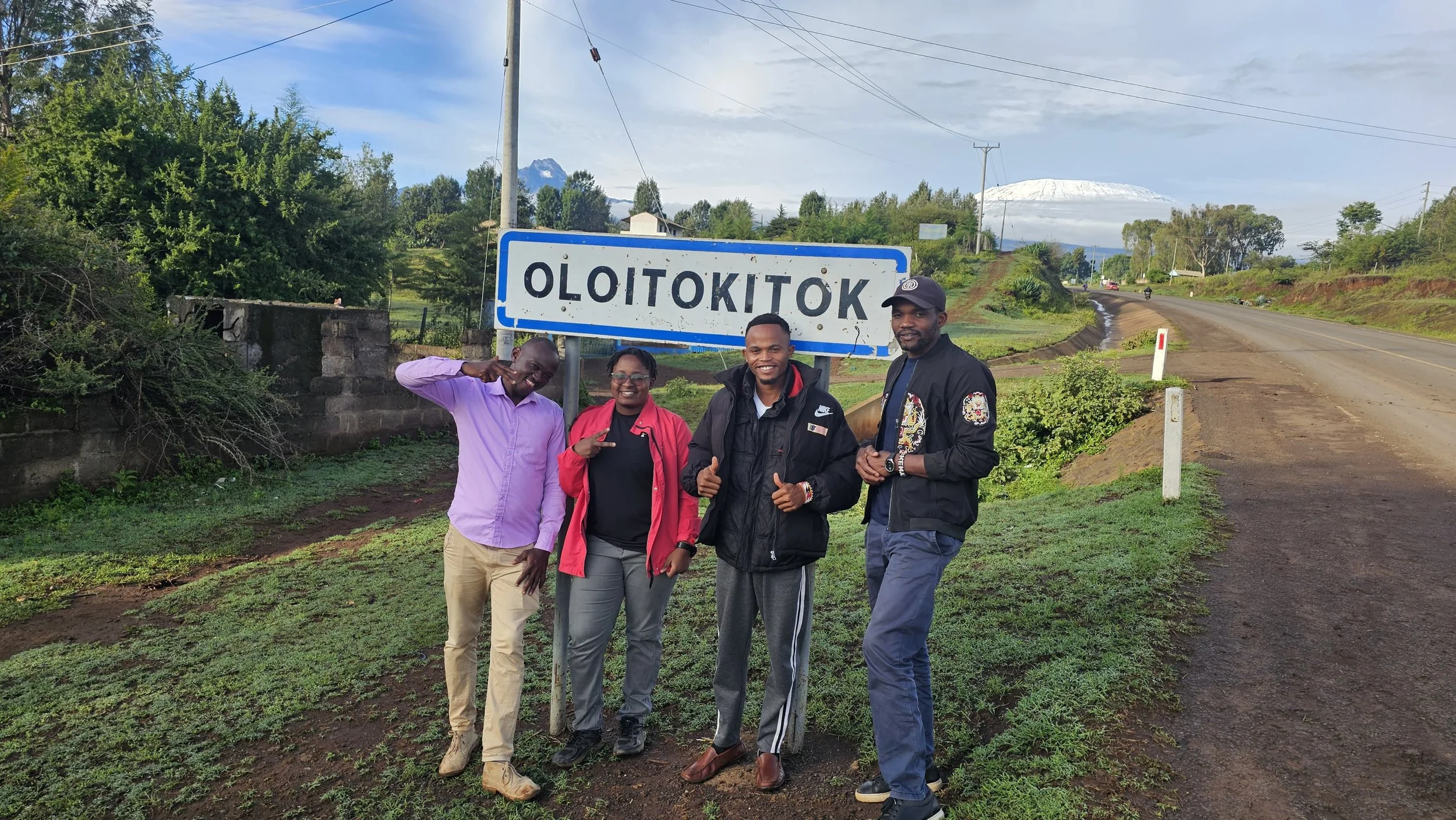
From left to right: Enoch Kaninge, Clemence Mnyika, Brian Mjomba, Eugene Mbogholi
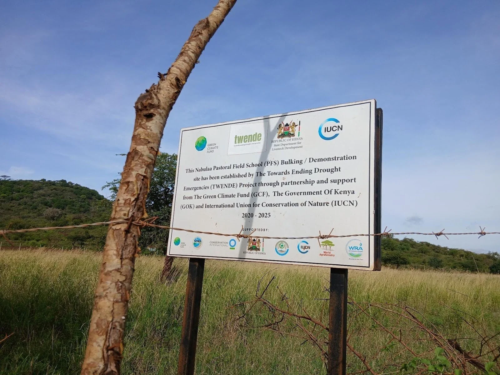
From 1st to 9th March 2026, youth, community members and partners under the Towards Ending Drought Emergencies: Ecosystem Based Adaptation in Kenya’s Arid and Semi-Arid Rangelands (TWENDE) Project came together to map priority restoration areas across the Chyulu corridor in Kajiado County. Equipped with the Regreening Africa App and guided by local knowledge, youth played a central role in identifying urgent restoration needs and documenting ongoing interventions.

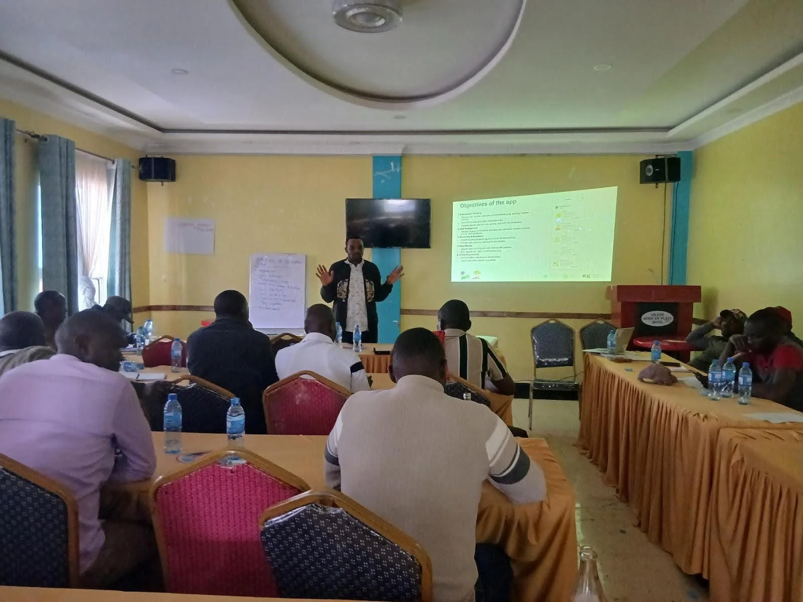
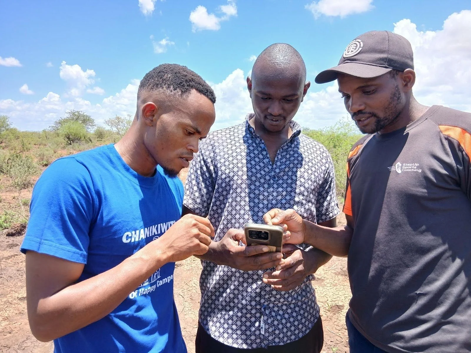
Training and Sensitisation session
The process began with training and sensitization, ensuring youth and community representatives could effectively use digital tools for mapping.
Target Areas: Rombo, Imbirikani, Kuku, and Kenyawa Poka wards.
Participants: 25 individuals, including grazing and peace committees, ward administrators, livestock officers, NDMA, CIFOR-ICRAF and youth advocates.
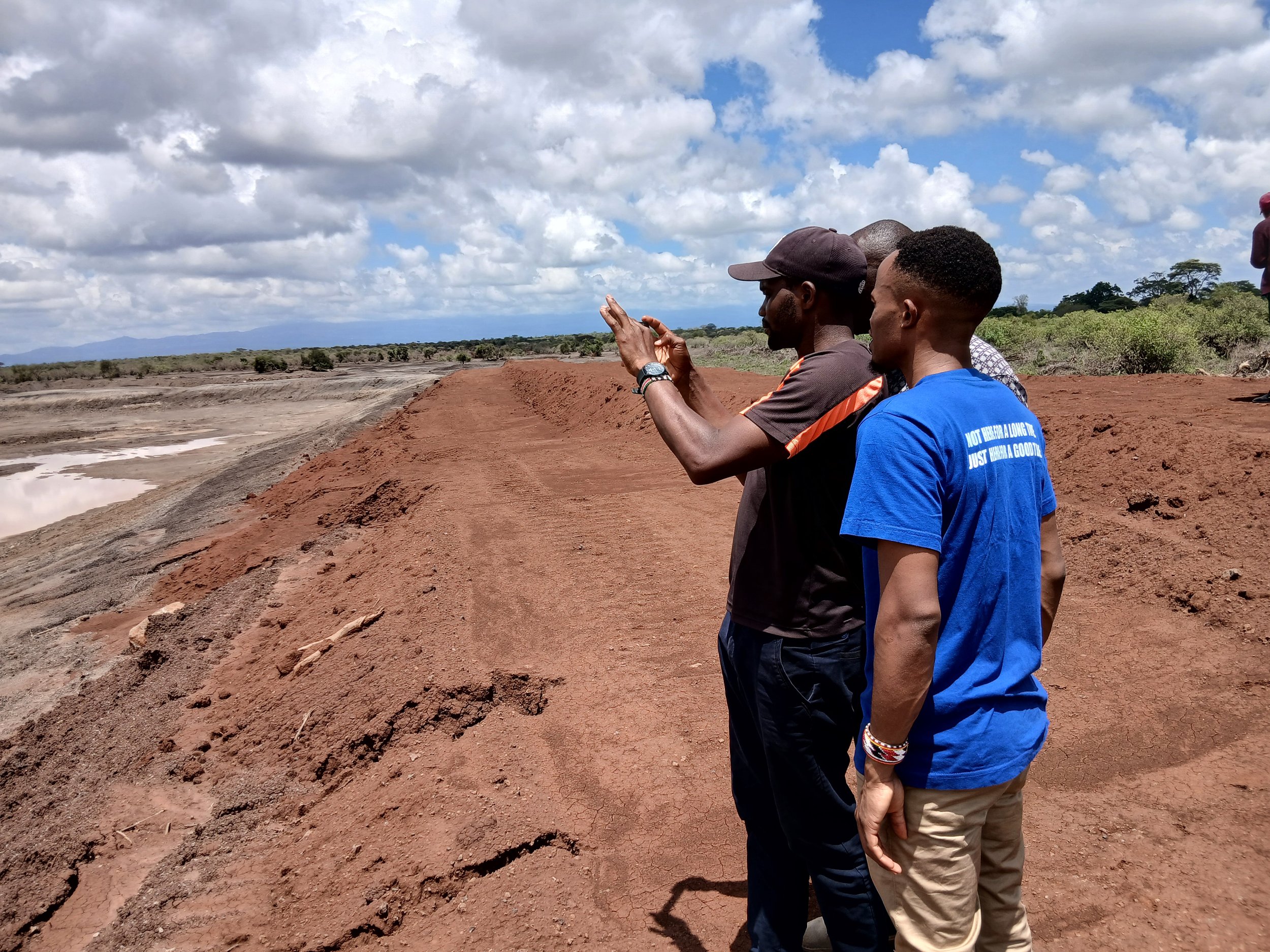
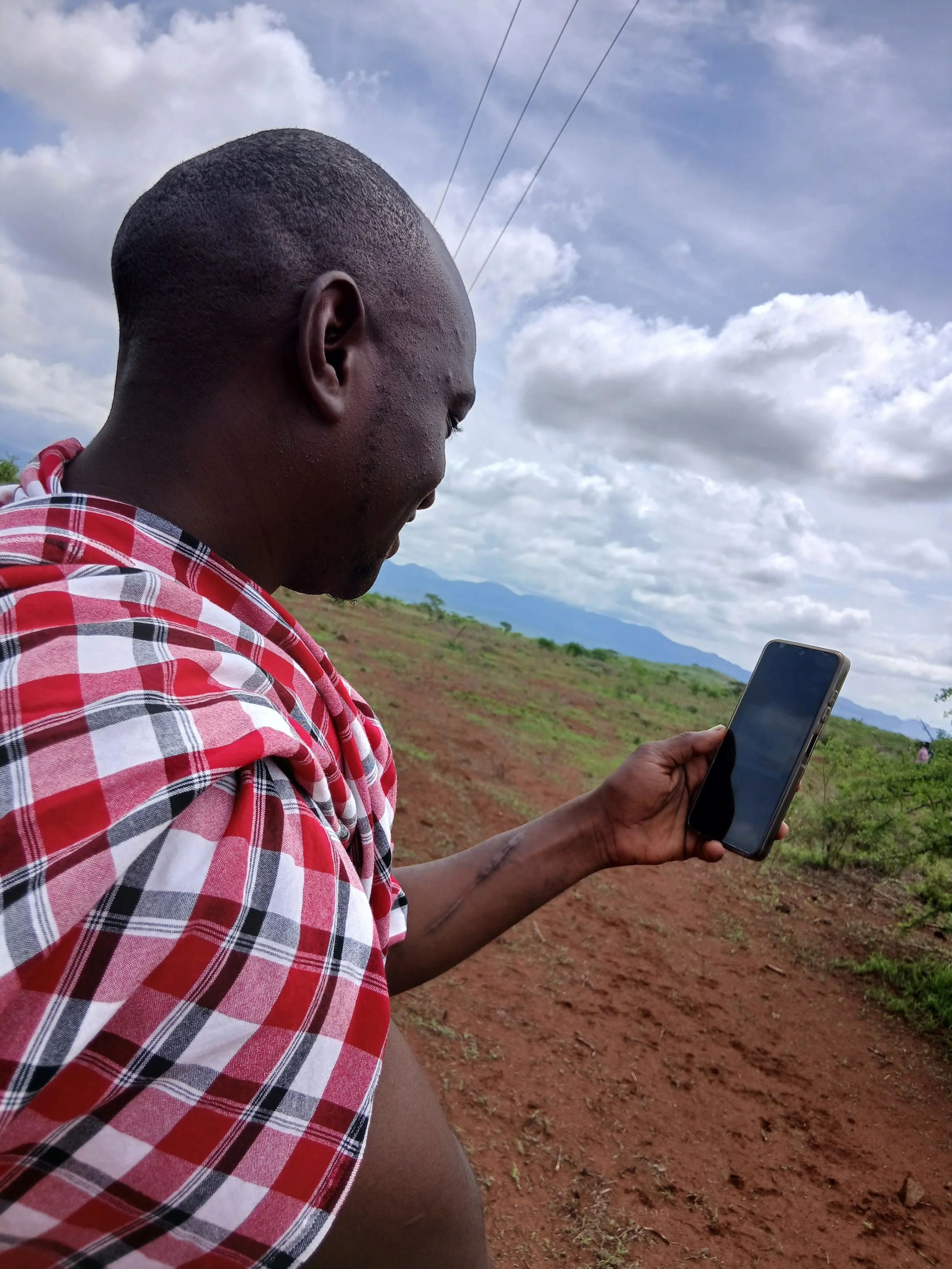
The youth captured GPS data, observed land conditions, and recorded interventions. Their focus included erosion levels, vegetation cover, soil drainage, and land use.
Youth navigating the Regreening Africa App in the field
Key Findings
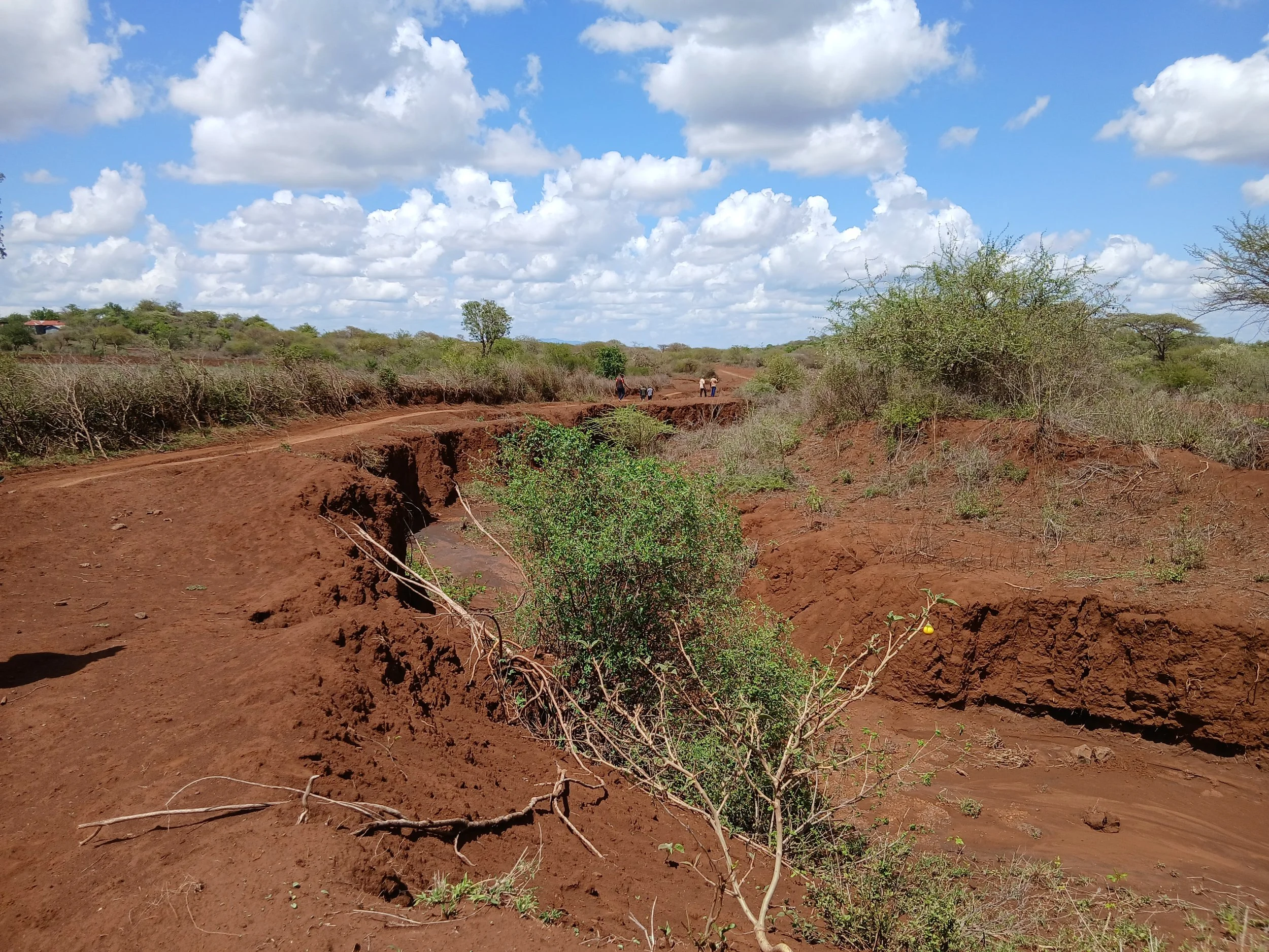
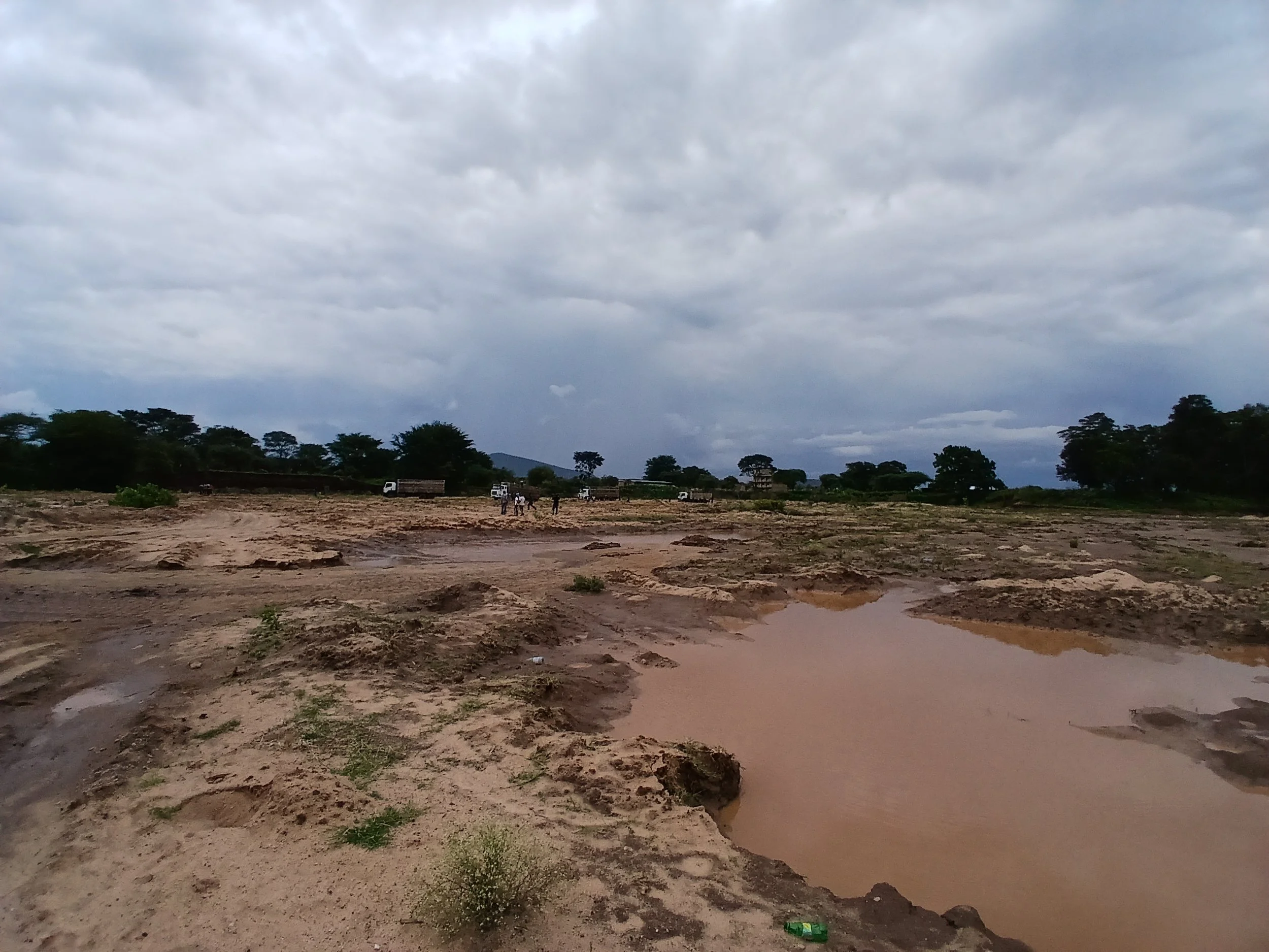
Erosion Hotspots: Severe erosion near Tsavo West National Park and Orbili, with gullies across all wards requiring gabions.
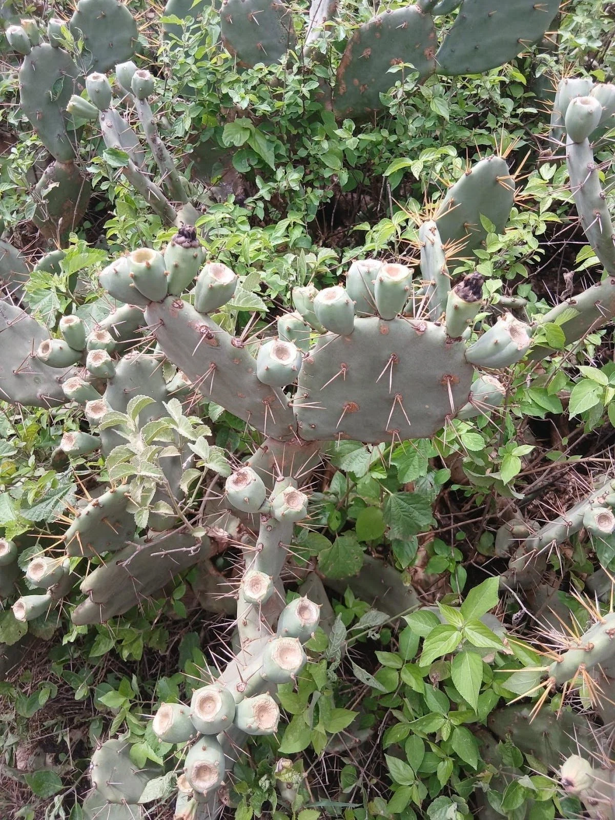
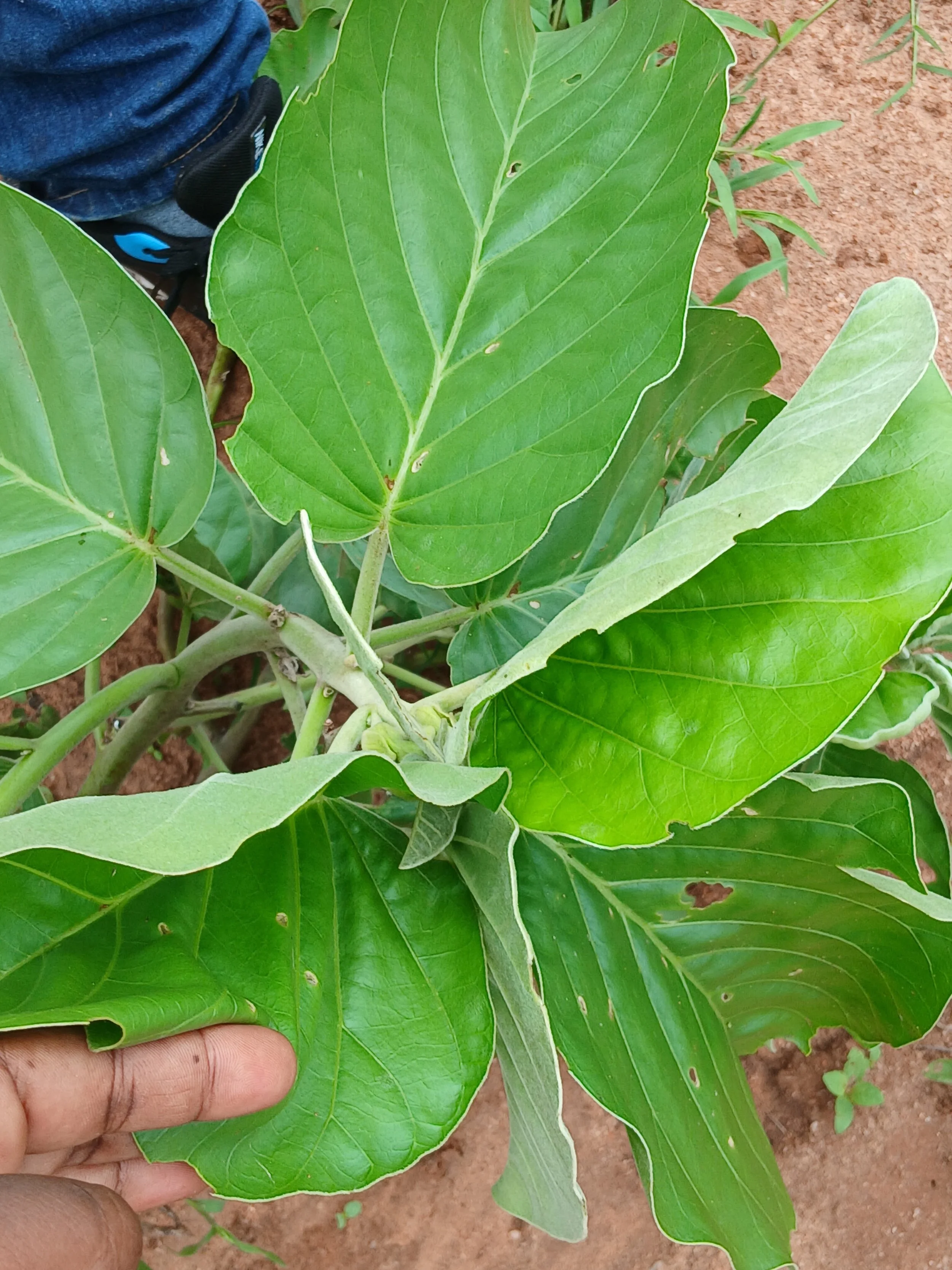
Invasive Species: Ipomea spp, Senegalia mellifera, and cactus in Kenyawa Poka hindered pasture growth.
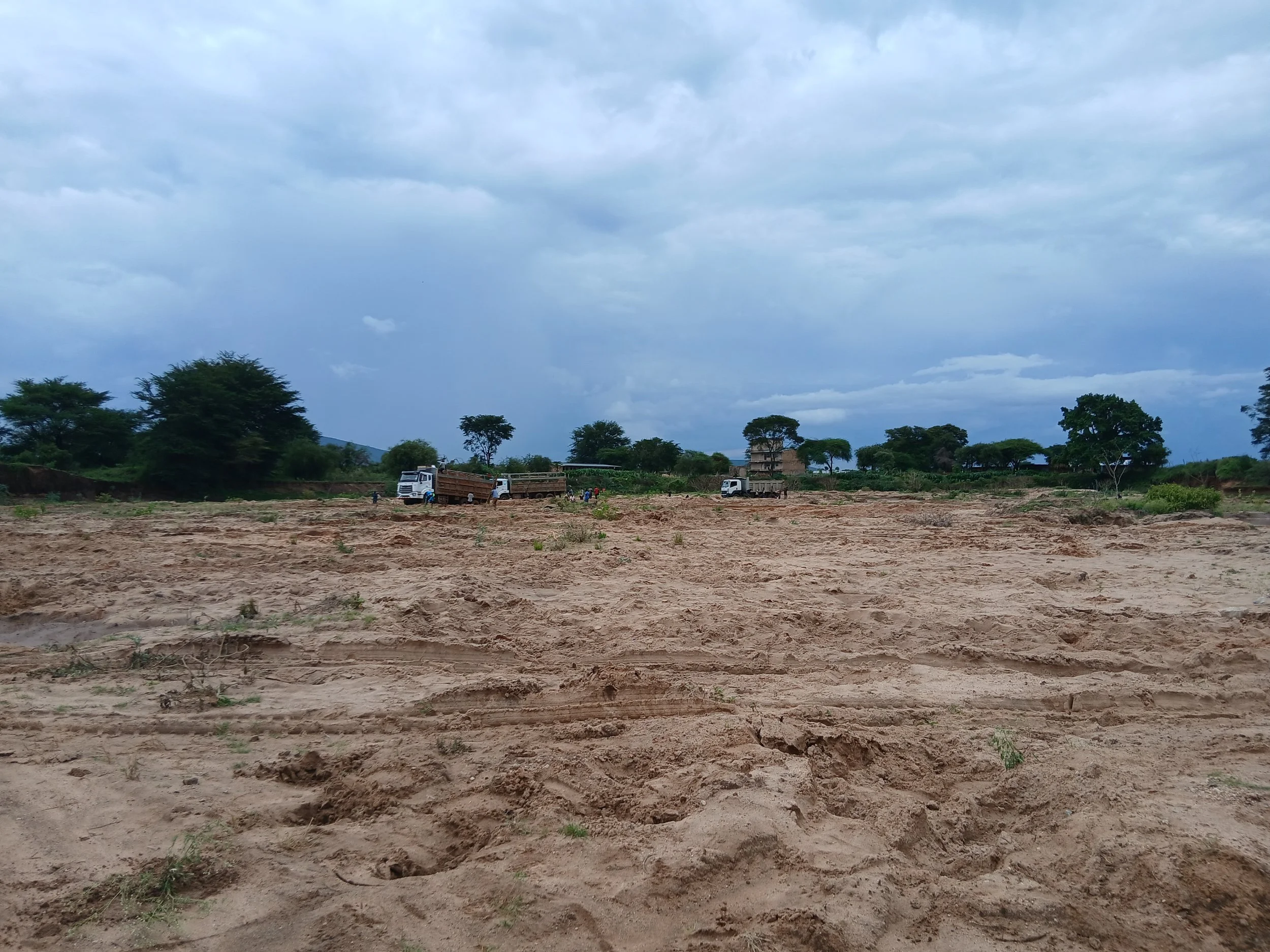
Water Degradation: Unsustainable sand harvesting degraded rivers, especially the Selengei River.
Recorded Interventions: Half-moons seeded with Cenchrus ciliaris and Eragrostis superba, seed banks, water pans, and grass seeding initiatives.
Youth Voices and Local Knowledge
The Youth stood out as fast learners, capturing interventions and bridging language barriers by translating into Maa, the local language spoken by the Maasai community. Their involvement ensured data collection was inclusive and accurate.
“Although it was sometimes difficult to translate complex terms, using the local language built trust, improved the quality of responses and encouraged more open knowledge sharing. This experience allowed me as a young person to contribute meaningfully to the mapping team while strengthening my skills with the data collection application.”
Importance of Youth Interaction with Soil Data
As recommended in the #Youth4Soil Manifesto and affirmed during the inception workshop on building an ecosystem of soil data project, youth interaction with soil data is of critical importance. Meaningful engagement equips young people with the knowledge and skills to:-
1. Build Knowledge & Skills
Youth gain practical experience in environmental science, GIS and data collection, equipping them with valuable technical and analytical skills.
2. Own Local Solutions
When young people collect and interpret soil data, they connect directly with their landscapes. This fosters a sense of responsibility and ownership over restoration and conservation efforts.
3. Practice Evidence-Based Advocacy
Soil data empowers youth to speak with authority when engaging policymakers, communities and global platforms. Their arguments are backed by evidence rather than just opinion.
4. Promote Innovation & Soil Literacy
Using tools like mapping apps and GPS strengthens digital literacy and encourages innovative approaches to land restoration.
5. Facilitate Intergenerational Knowledge Transfer
Youth bridge traditional ecological knowledge from elders with modern scientific methods, ensuring culturally relevant and scientifically sound solutions.
Why Enhance Youth–Soil Data Interactions
Scaling Restoration Efforts: Youth-led data collection expands the reach of monitoring, making restoration more comprehensive and inclusive.
Cultivating Youth Leadership: By engaging now, youth are prepared to become renowned soil scientists, policymakers, and community leaders.
Community Trust & Inclusivity: Youth often act as translators and connectors across languages and generations, making data collection more inclusive and trusted.
Sustainability of Interventions: When youth understand the data behind interventions, they are more likely to sustain and replicate them long-term.
Global Relevance: Youth participation ensures that local realities are represented in global soil health dialogues, strengthening international collaboration.
The process was not without challenges: impassable roads and heavy rains slowed progress. However, the mapping exercise highlighted an urgent need for restoration interventions. Most importantly, it showcased how youth leadership and local knowledge are driving restoration monitoring—including soil data collection—and shaping sustainable restoration strategies in the Chyulu corridor.
By empowering youth with mapping skills, the TWENDE Project is not only regreening landscapes but also cultivating an informed generation of soil health champions.